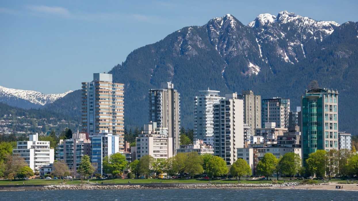
Density Study
A density study analyzes zoning regulations to determine the maximum development potential of a parcel, shaping feasibility and valuation.

September 30, 2025
What is a Density Study?
A density study is an analysis used to determine the development potential of a parcel of land under applicable zoning and planning regulations. It evaluates how much floor area, building height, and unit count can be achieved given rules such as floor area ratio (FAR), lot coverage, setbacks, and bonus programs. The study helps developers understand site yield, optimize design, and assess economic feasibility. Local planning policies, environmental constraints, and infrastructure capacity often shape the results of density studies.
Why Density Studies Matter in Real Estate
Density studies matter because they are the foundation for project feasibility, land valuation, and investment decisions. They inform how much revenue-generating space a project can support while balancing community objectives like green space, public amenities, and housing affordability. Developers, municipalities, and lenders rely on density studies to align design with policy goals and financial expectations. Early understanding of density potential reduces risk of costly redesigns.
Example of a Density Study in Action
A developer commissioning a density study learns that zoning permits a 10-storey residential tower with a density bonus if affordable housing units are included. The study shows how adding three additional floors changes land value assumptions and project returns, guiding the acquisition strategy.
Key Takeaways
- Density studies quantify site yield under planning rules.
- They guide design and acquisition decisions.
- Public policy and incentives shape density outcomes.
- Early studies reduce risk of redesign and delays.
- They are crucial for financial feasibility and valuation.
Related Terms
- Zoning
- Floor Area Ratio (FAR)
- Density Bonus
- Setback Requirements
- Shadow Study
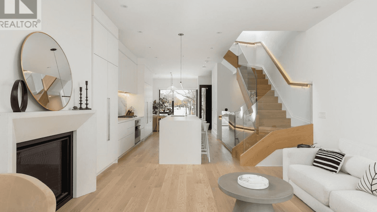
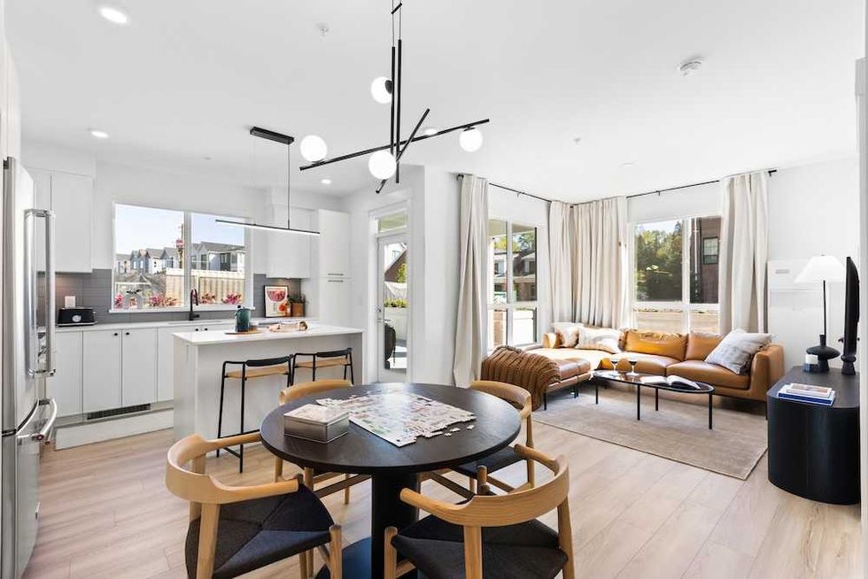 The Mason Suite Interior (Infinity Properties)
 The Mason Suite Interior (Infinity Properties)
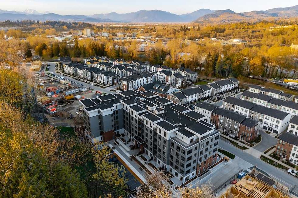 Rail District aerial (Infinity Properties)
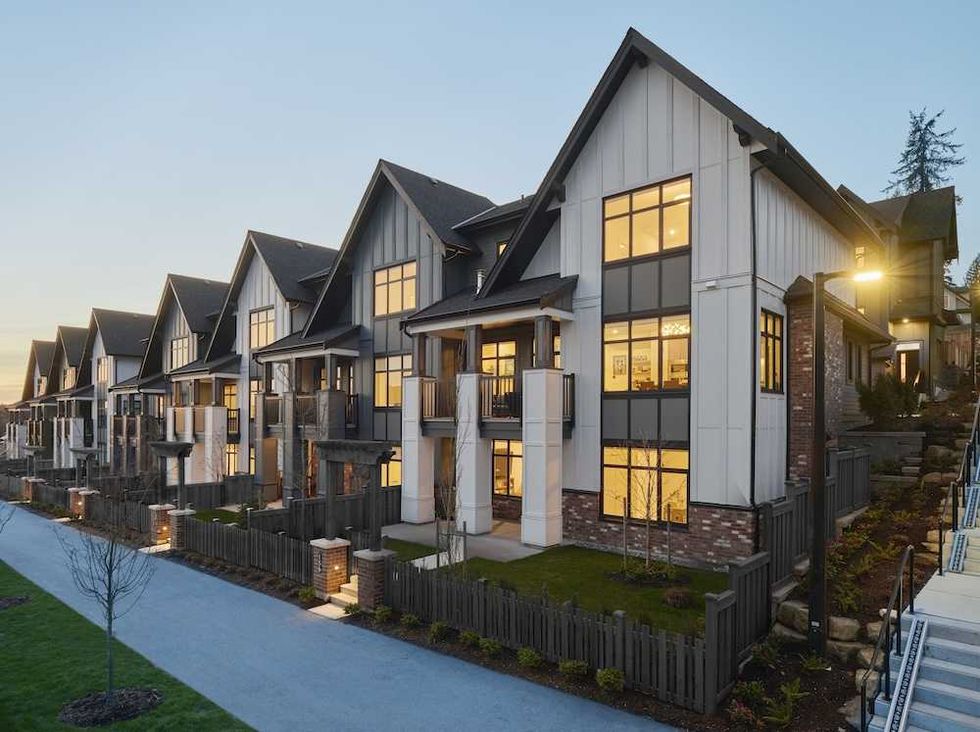 Versant (Infinity Properties)
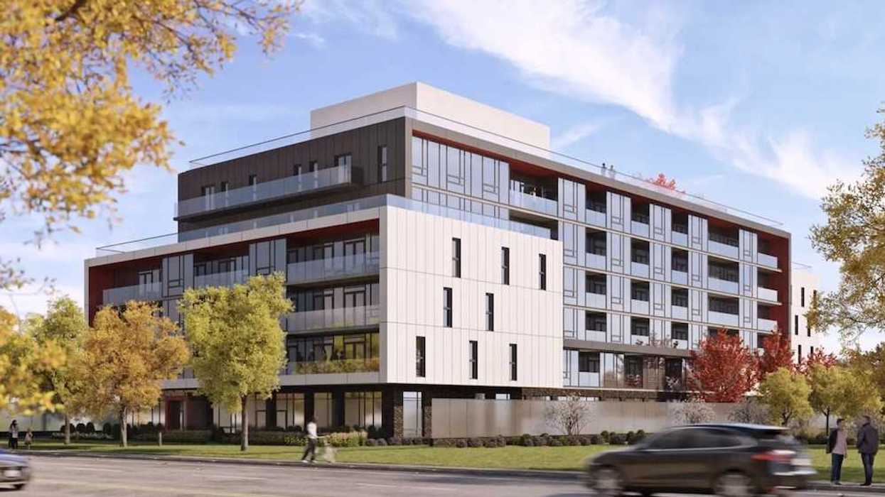
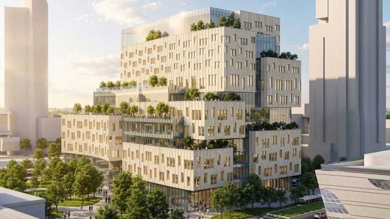



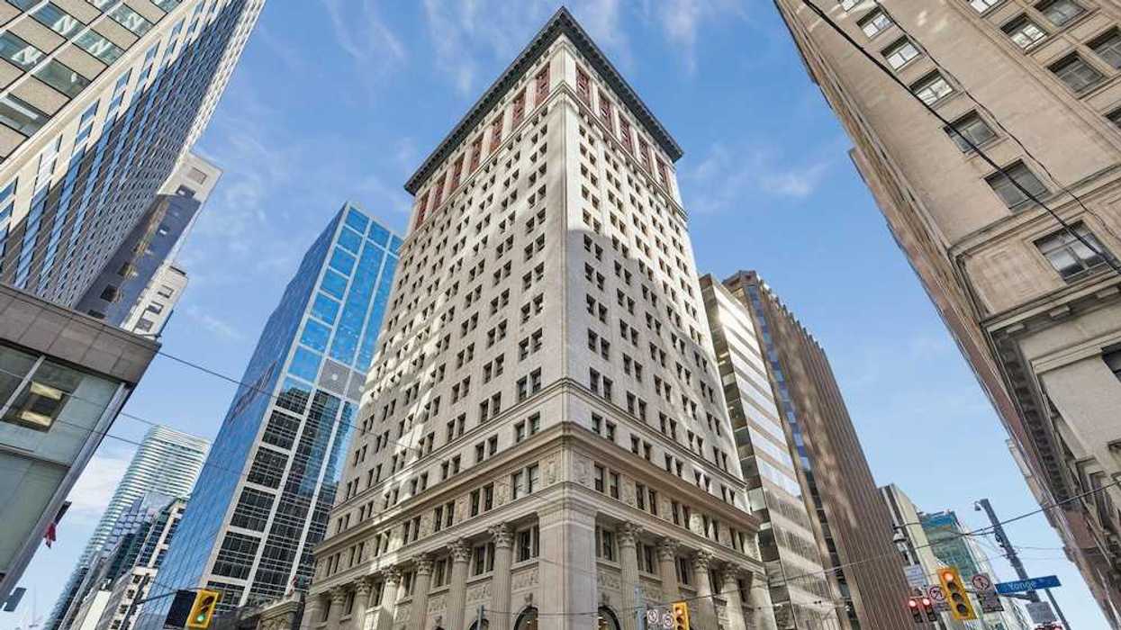
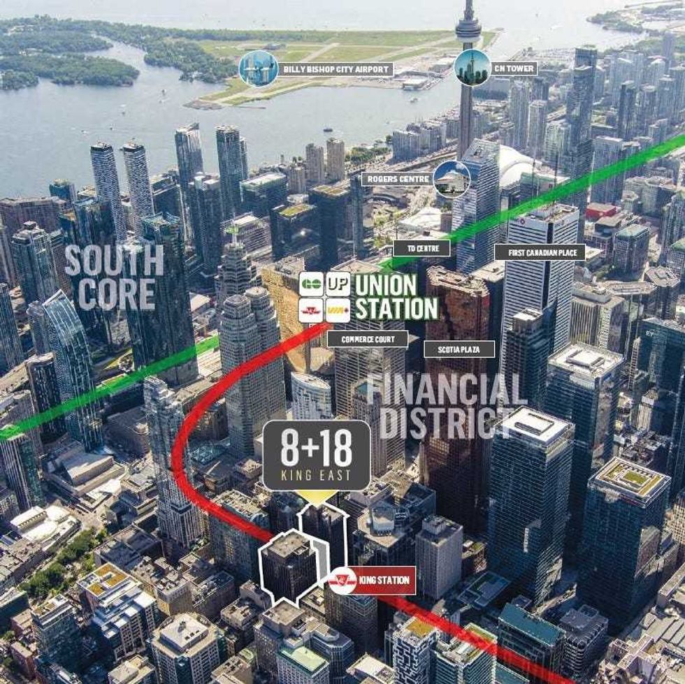 8 and 18 King Street East in Toronto. (RBC Capital Markets Realty)
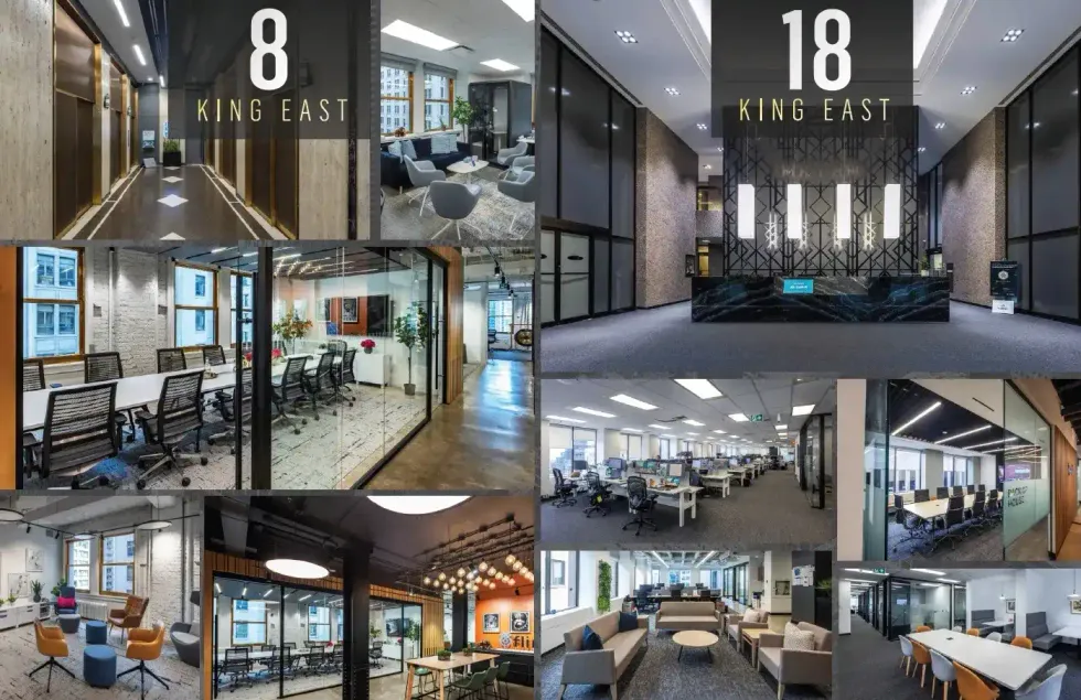 Interior photos of 8 and 18 King Street East. (RBC Capital Markets Realty)
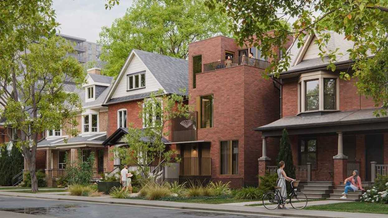
 Narrow Fourplex (City of Toronto)
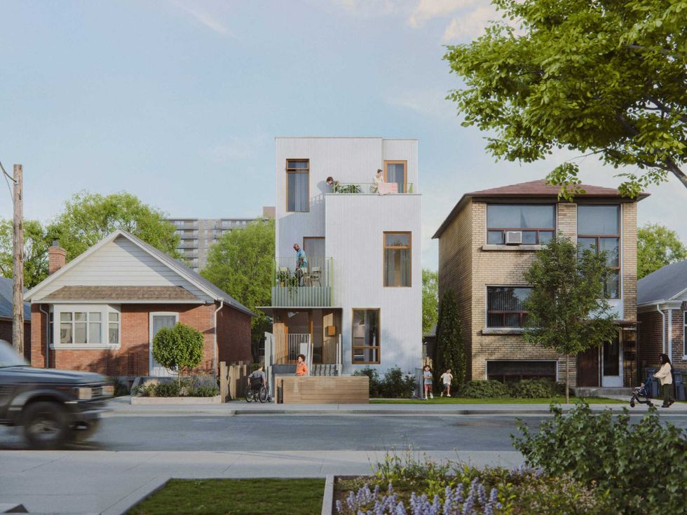
 Wide Sixplex - Side View (City of Toronto)