Geotechnical Survey
Learn about geotechnical surveys in Canadian real estate — what they evaluate, why they’re required, and how they reduce construction risks.
July 27, 2025
What is a Geotechnical Survey?
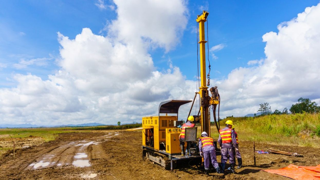
A geotechnical survey is a field investigation and analysis of soil, rock, groundwater, and other subsurface conditions on a site to assess its suitability for construction.
Why Geotechnical Surveys Matter in Real Estate
In Canadian real estate development and construction, geotechnical surveys identify potential risks and inform the design of foundations, retaining walls, and drainage systems.
Key elements:
- Soil bearing capacity and composition
- Groundwater table levels
- Slope stability and erosion risks
- Presence of contaminants or problematic soils
A geotechnical survey is often required before issuing building permits for new construction or significant redevelopments.
Example of a Geotechnical Survey in Action
The developer commissioned a geotechnical survey to ensure the soil could support the planned high-rise building.
Key Takeaways
- Evaluates subsurface conditions before construction
- Informs foundation and drainage design
- Helps identify environmental or soil risks
- Required for many building projects
- Reduces structural and safety issues
Related Terms
- Building Permit
- Drainage System
- Foundation
- Site Plan
- Environmental Site Assessment
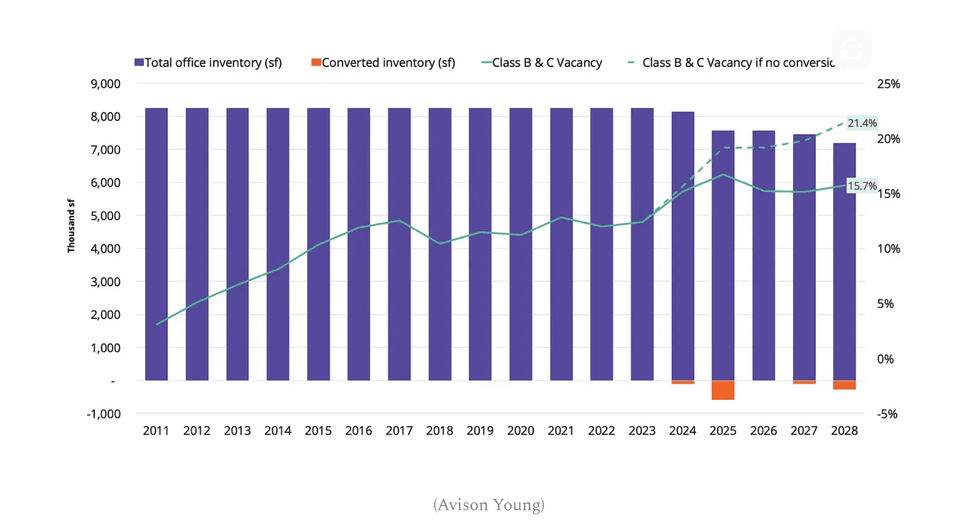 (Avison Young)
 The Mason Suite Interior (Infinity Properties)
 The Mason Suite Interior (Infinity Properties)
 Rail District aerial (Infinity Properties)
 Versant (Infinity Properties)








 Narrow Fourplex (City of Toronto)
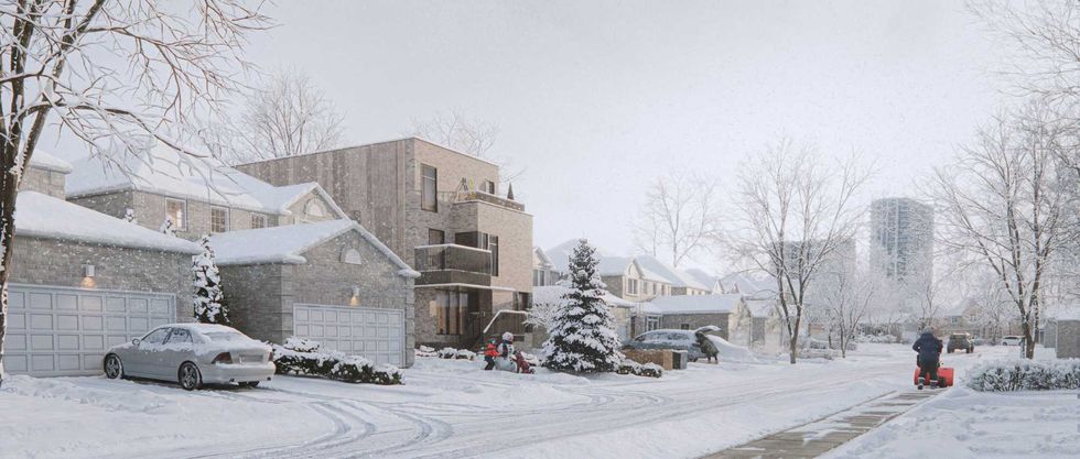 Wide Sixplex - Side View (City of Toronto)
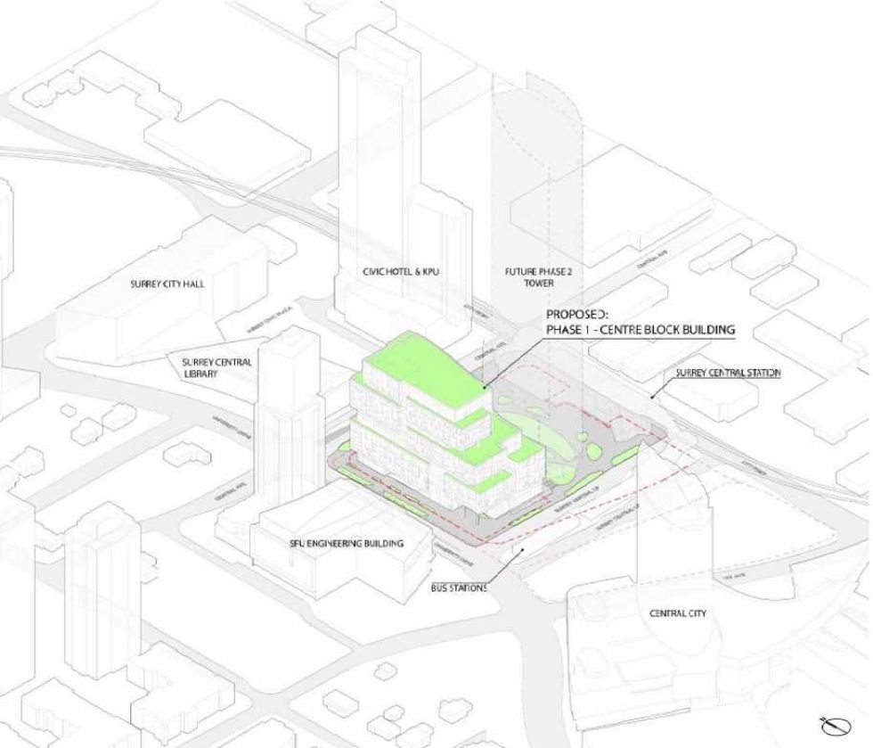 Centre Block and its surrounding context. (Stantec-Revery, SCDC)
 The 12-storey Phase One of Centre Block. (Stantec-Revery, SCDC)
 The 12-storey Phase One of Centre Block. (Stantec-Revery, SCDC)
 Mondria One, set for 1607 King Street East in Clarington, Ontario. (ICON Architects Inc., Monde Development Group)