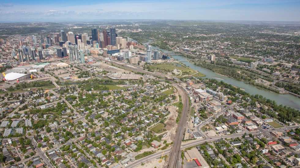
If you grew up or lived in Toronto any time before about 2010 you’d likely have considered anywhere north of the intersection of Bloor and Yonge to be uptown. Now, Yonge and Eglinton, for example, which sits about four kilometres north of Bloor and Yonge, is considered midtown. Furthermore, Toronto has seen new neighbourhood names – like Davisville Village, for one – pop up in the past few decades. As the city expands, its official and unofficial neighbourhood and regional boundaries evolve along with it.
So, some realtors say that the Toronto Regional Real Estate Board (TRREB) needs to revamp its current neighbourhood classifications on the city’s multiple listing service (MLS) maps to keep up with the times.
“When most homebuyers look to buy a property, they often turn to MLS before they even engage their agent and I’m finding that a lot of good product is misclassified by the TRREB district maps on MLS,” says Deana Feldman, a broker at Chestnut Park Real Estate Brokerage.
Feldman highlights that TRREB hasn’t updated these maps since 2011 – but the city has changed a lot since. “As a result, hidden gems throughout Toronto are getting missed when you just simply search the MLS,” says Feldman. “So, let’s say you’re a buyer looking in Leaside – and you know you want to live in Leaside, but maybe you don’t know the neighbourhood that well – and a listing pops up, but it’s classified as Thorncliffe Park. You’re going to say, ‘Well, that’s not Leaside, that’s Thorncliffe Park.’ But it may in fact be Leaside, they’re just using the outdated maps on TRREB.”
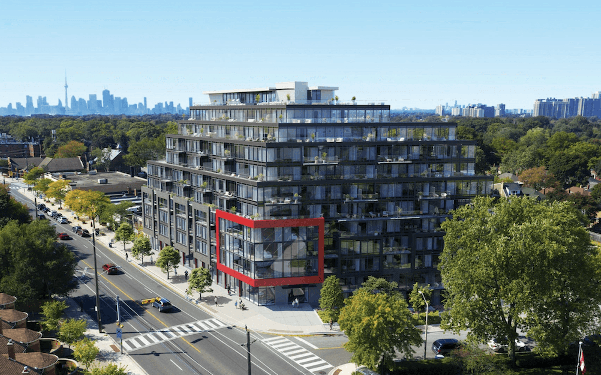
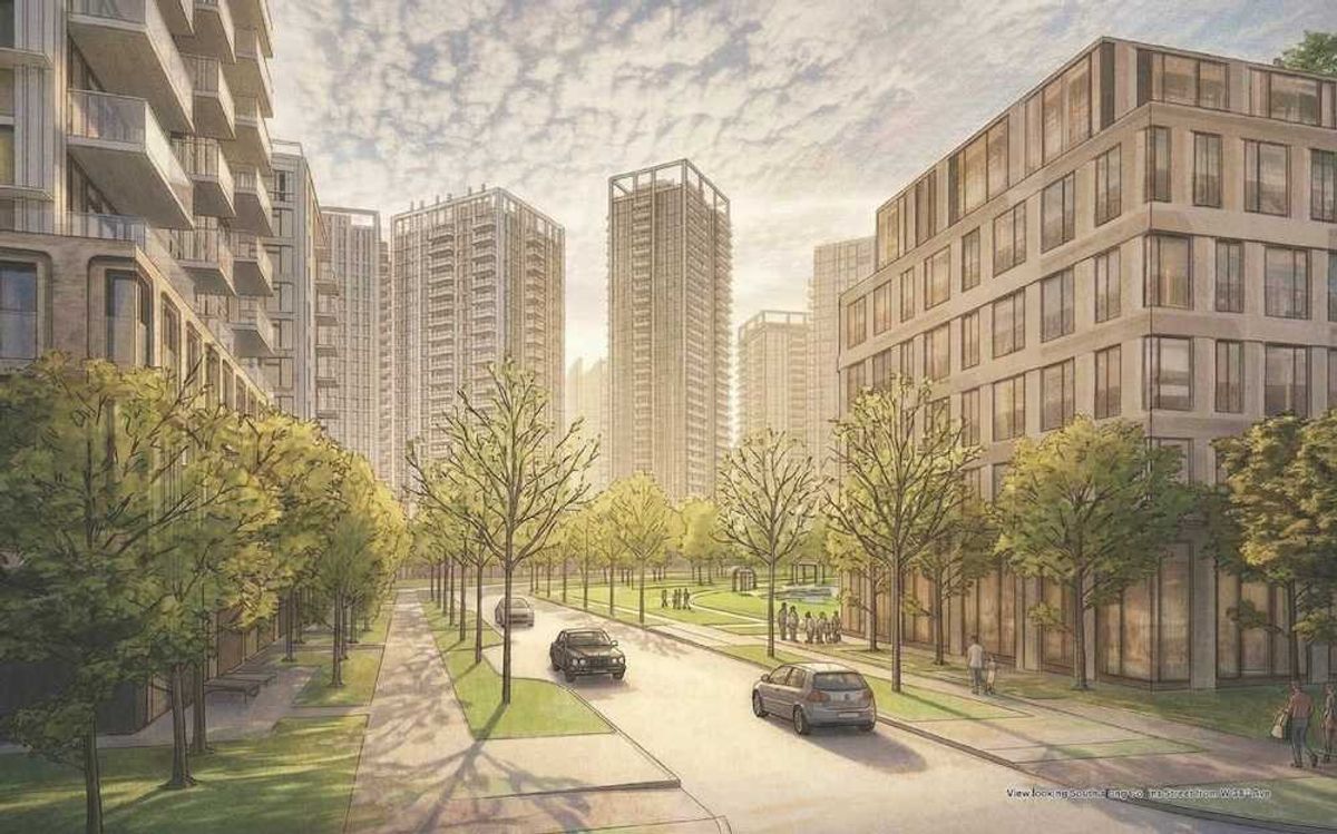
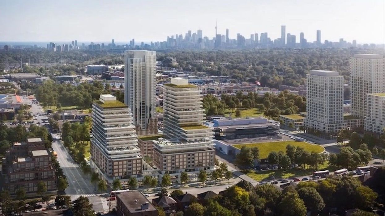
For example, some shiny new developments that are, in essence, Leaside – like the upcoming luxury master-planned community, Upper East Village, located at Eglinton and Brencliffe Road – are popping up as Thorncliffe Park on MLS as per the 2011 boundaries. “This offers less visibility when a basic search is done on MLS,” says Feldman. Of course, the two neighbourhoods are known for their distinctively different vibes and demographics; Thorncliffe Park is underserved and filled with aging apartment buildings. Meanwhile, Leaside is celebrated for its manicured lawns, picture-perfect single-family homes, and upper middle class residents. So, in short, the label makes a difference for many buyers who are particular of where – and what (literally) – they call home.
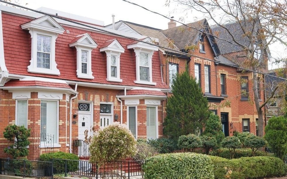 Toronto homes/Shutterstock storeys.com
Feldman points to Yorkville as another example of a neighbourhood with expanding (currently informal) boundaries. “People consider Charles Street a part of Yorkville these days, but it’s not technically classified as such on the TRREB maps,” says Feldman. “At this point, it’s such a mature street that people do know about it and agents will send it to their clients who are looking in Yorkville.” The street has seen a major transformation in recent years, with the arrival of a handful of sleek new condos replacing real estate that had seen better days.
Toronto-based realtor Davelle Morrison of Bosley Real Estate Limited agrees that it’s time for TRREB to update its districts. “Take what is known as South Riverdale; it’s really Leslieville and I think consumers would prefer to see that name vs South Riverdale,” says Morrison. “As for some of the new condos classified as ‘Thorncliffe,’ they should be designated in the Leaside area instead so they can move away from the negative connotations. That being said, it could be difficult to change the boundaries at this time because of the historical data that needs to be searched.”
While Toronto realtor and chartered accountant Scott Ingram calls TRREB’s neighbourhood classifications “a pretty minor issue,” in the grand scheme of things. “Yes, it would be cool if the TRREB "communities" (neighbourhoods) lined up with the now 158 official city neighbourhoods (up from 140 in March 2022),” says Ingram. “But the new neighbourhoods are largely older neighbourhoods split in half. Take the former Junction-Wallace Emerson Dovercourt. The two new neighbourhoods share the exact same boundaries of JWED, they're just now split left and right .”
Now, what’s considered Junction-Wallace Emerson sits on the east, and Dovercourt sits on the west. “So, the whole C01, C02, C03 ‘municipalities’ (as TRREB calls them) that encompass the ‘communities’ are the same (the two new halves of DWEJ are still in W02, for example),” says Ingram.
With that said, Ingram also believes a little neighbourhood classification revamp from TRREB wouldn’t hurt. “Would TRREB's MLS be better with the new neighbourhoods? Absolutely,” says Ingram. “For example, it would be nice to separate out Liberty Village condos from something on Richmond St, instead of that all currently lumped under Niagara. But I don't think people are having trouble finding what they are looking for right now. I think it's just been a case of TRREB having other priorities. But I'm interested in hearing what they say as far as when they will integrate this.”
As it turns out, TRREB is listening – other priorities or not. When STOREYS reached out for comment, they had some reassuring news. “The Toronto Regional Real Estate Board (TRREB) will be adding and updating the existing geographical areas in the coming months, and we are actively listening and welcoming feedback from our Members on neighbourhood boundaries,” said TRREB President, Jennifer Pearce in a statement.
In the meantime, Ingram says that he doesn’t think current homeowners or renters even care what TRREB official boundaries are. “They can (and do) call their neighbourhood whatever they'd like,” he says.
As for whether or not the name of your neighbourhood affects the price of your home, according to mortgage broker Ron Butler, the answer is rarely, if ever. “Most appraisals in the GTA work comps in a 10- block radius and often don’t consider precise neighbourhoods,” says Butler. “These sort of neighbourhood specific discussions mean a lot to real estate agents but not nearly as much to appraisers.”