On Friday, Metro Vancouver -- the federation of 21 municipalities, one Electoral Area, and one Treaty First Nation -- adopted the Metro 2050 plan, an updated regional growth strategy setting out big-picture goals and actions to address key regional issues such as housing, transportation, and urban development.
Metro 2050 builds on the previous iteration of the federation’s regional growth strategy, Metro Vancouver 2040, with the updated iteration focusing more on addressing climate change, affordable housing, and regional development, while also ensuring the plan aligns with Transport 2050, the region's transportation strategy.
"The adoption of this plan is a significant achievement," George V. Harvie, Chair of Metro Vancouver's Board of Directors said on Friday. "It represents a commitment by every member in the regional federation, TransLink, and neighbouring regional districts to work together in the spirit of collaboration for the sake of future generations."
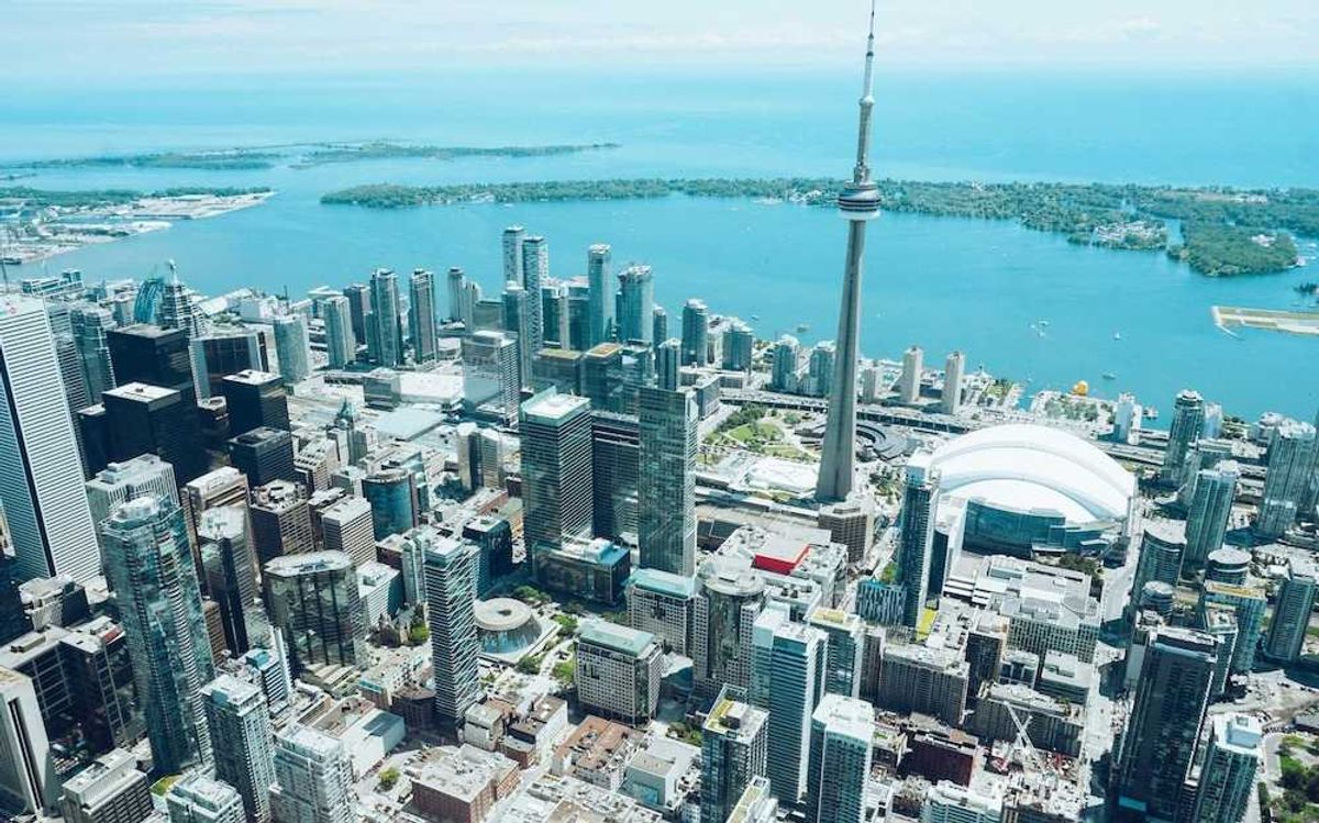
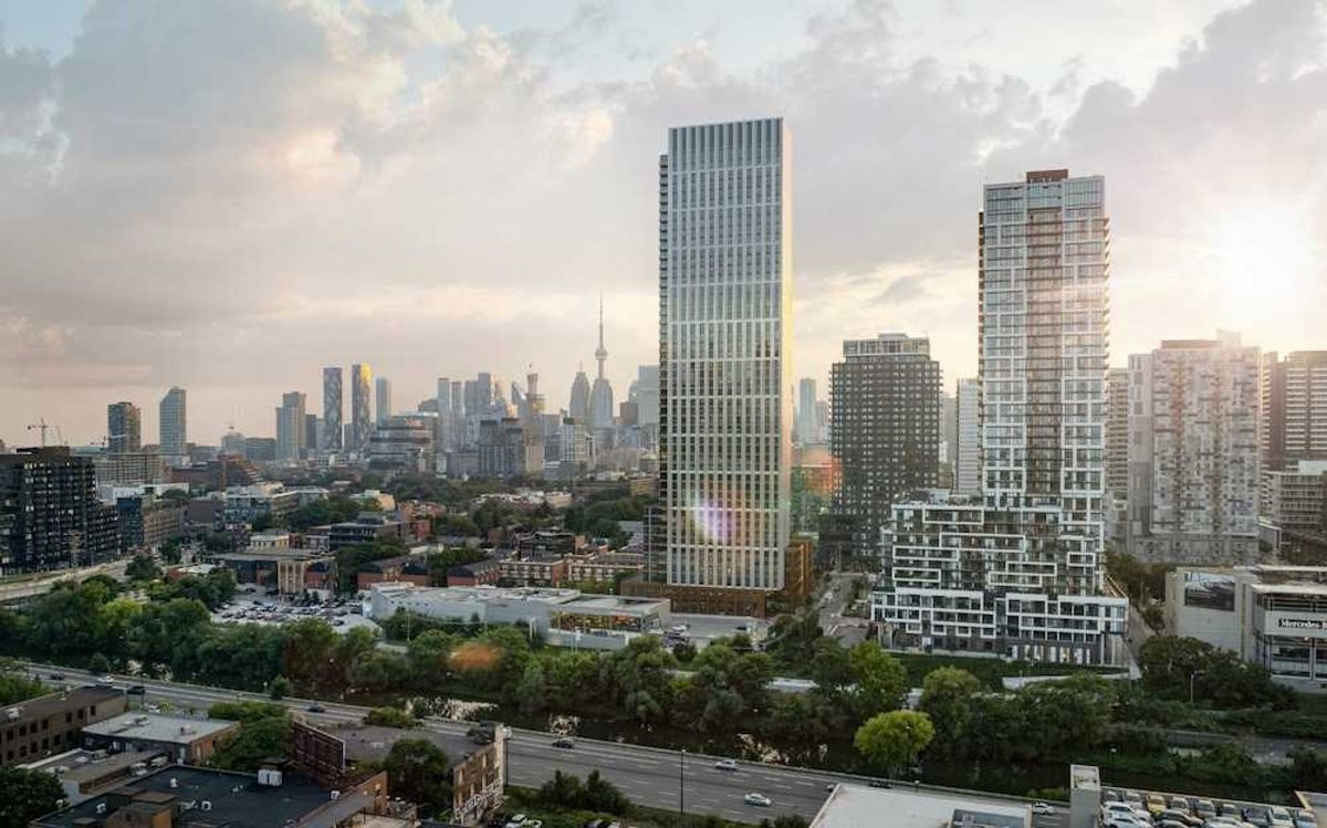
Housing was perhaps the issue addressed in Metro 2050 that British Columbians care the most about, but equally as big and impactful is the development direction of the region.
Metro Vancouver 2050: The Development Strategy
The federation summarizes its big-picture urban development goal for the region in a seemingly-vague nutshell: to "create a compact urban area."
"A commitment to a compact urban area within the region reflects the recognition that sprawling urban development consumes the natural landscape, necessitates costly and inefficient urban infrastructure such as sewerage services and transit, contributes to negative health impacts, and adds to the global problem of greenhouse gas emissions," the federation says.
This does not mean the federation will neglect the non-urban areas, however, as it will instead draw a clear line between them, a line it's calling the Urban Containment Boundary.
"The Urban Containment Boundary is a stable, long-term, regionally-defined area for urban development that protects Agricultural, Conservation and Reservation, and Rural lands from developments requiring utility infrastructure and from auto-oriented, dispersed development patterns," Metro Vancouver says. "Locating housing, regional transportation, and other infrastructure investments within the Urban Containment Boundary supports land-development patterns that can protect food-producing land and reduce energy demand and greenhouse gas emissions from commuter traffic."
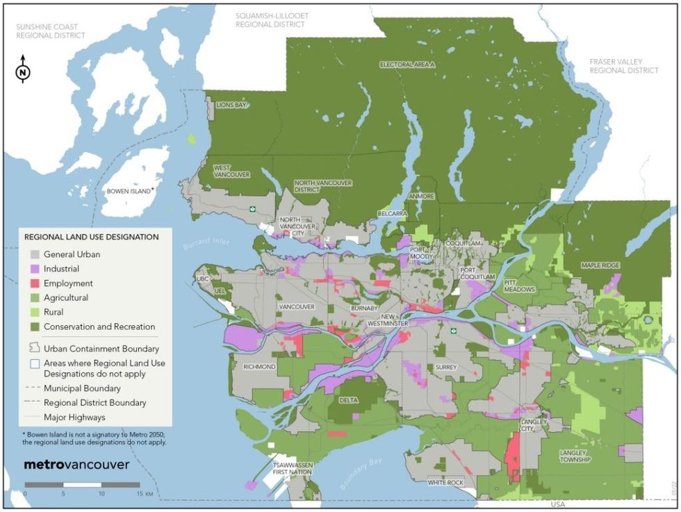 Regional land use designations. (Metro Vancouver)
Containing urban development to within the Urban Containment Boundary is the first prong of the four-pronged development strategy laid out in Metro 2050. To achieve this, the federation says it will, among other things:
- Work collaboratively with the federal government, the Province, TransLink, BC Transit, and adjacent regional districts to study how inter-regional transportation connections can be supported and enhanced;
- Work with First Nations to incorporate development plans and population, employment, and housing projections into the regional growth strategy to support potential infrastructure and utility investments;
- Advocate to the Province to ensure that any transportation plans, strategies, and infrastructure investments do not encourage the dispersal of housing and employment growth outside the Urban Contain Boundary;
- Advocate to the federal government and the Province requesting that they direct urban, commercial, and institutional facilities and and investments to areas within the Urban Containment Boundary, and to Urban Centres and Frequent Transit Development Areas (FTDAs).
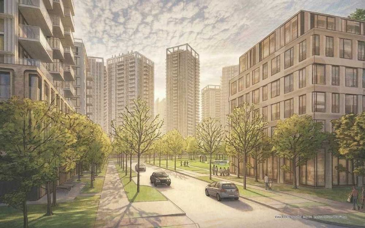
The second prong of the strategy is to "focus growth in Urban Centres and Frequent Transit Development Areas," which the federation says "fosters the development of walkable, vibrant, and mixed-use communities that can support a range of services and amenities." To achieve this end, the federation will:
- Explore, with member jurisdictions, other governments and agencies, the use of financial and economic development tools and other incentives to support the location of major commercial, office, retail, and institutional development in Urban Centres;
- Only consider a new Urban Centre in the regional growth strategy where:
- it intersects with a Major Transit Growth Corridor;
- appropriate supporting local or neighbourhood plans have been completed that demonstrate how the future Urban Centre will accommodate the intended regionally-significant levels of employment and residential growth, and identify the adequate provision of park land, public spaces, and amenities to serve the anticipated growth;
- the location is outside known and unmitigated flood and other natural hazard risk zones;
- Develop an Implementation Guideline, in collaboration with member jurisdictions and TransLink, to be used as a resource to support transit-oriented planning throughout the region;
- Monitor the region's total dwelling unit and employment growth that occurs in Major Transit Growth Corridors;
- Advocate to the federal government and the Province requesting that:
- they direct major office and institutional development, public service employment locations, and other Major Trip-Generating uses to Urban Centres, FTDAs, and locations within the Major Transit Growth Corridors;
- government-owned or funded affordable or supportive housing developments be located in areas with good transit access;
- their procurement, disposition, and development of land holdings be consistent with the goals of the regional growth strategy;
- they support the coordination of growth, land use, and transportation planning at the regional scale through updates to legislation, regulations, partnerships, plans, agreements, and funding programs.
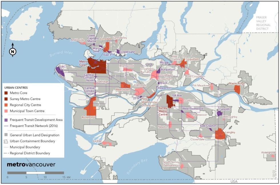 Urban Centres and Frequent Transit Development Areas. (Metro Vancouver)
The third prong of the strategy is to "develop resilient, healthy, connected, and complete communities with a range of services and amenities" that "supports trip reduction, walking, healthier living, climate action, more equitable access to the key amenities that support a high quality of life, and creates resilient places with inclusion and connection." To achieve this, the federation says it will:
- Provide technical advice, assistance, research, and data to member jurisdictions, First Nations, and other agencies to improve air quality, reduce greenhouse gas emissions, increase access to community services, and to better understand the heath and social equity aspects of land use and infrastructure decisions;
- Collaborate with health authorities, academic institutions, First Nations, and other researchers to share best practices, research, data, and tools that can advance land use policies to:
- ensure neighbourhoods are designed for walking, cycling, rolling, and social activities to promote positive mental and physical health;
- meet community social needs and priorities;
- reduce community exposure to climate change and air quality impacts;
- increase equitable access and exposure to public spaces through urban green space enhancement and retention opportunities;
- Measure and monitor access to community services and amenities
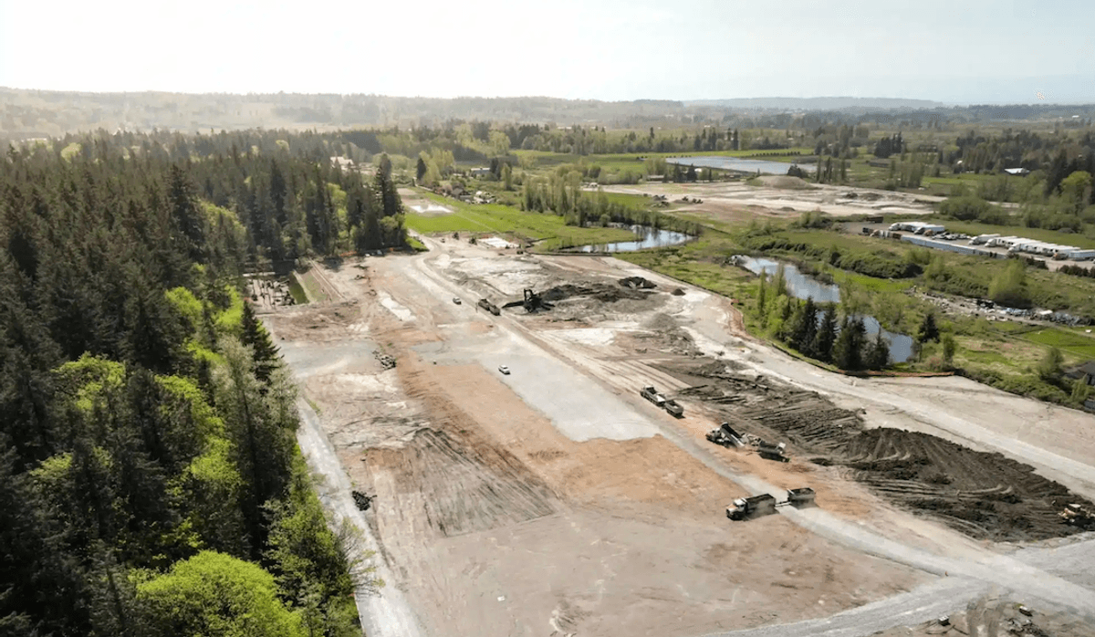
The fourth and final prong of the urban development strategy is to "protect rural lands from urban development." To accomplish this, the federation's primary action will be to direct the Greater Vancouver Sewerage and Drainage District to not allow connections to regional sewerage services to lands with a Rural regional land use designation.
Based on projected Census data, Metro Vancouver is estimating that growth in the region in the next 30 years will likely bring the region's population to upwards of 3.8M by 2050. It also recognizes that Metro Vancouver's population is aging, with the proportion of seniors over the age of 65 expected to reach 22% by then, which will further raise the demand for services such as health care, accessible public transit, and seniors housing.
"An awareness and consideration of changing generational and demographic trends and behaviors will support better long-range planning as well as regional prosperity through improved labour force recruitment and retention," the federation says. "By carefully shaping and structuring growth and ensuring the right diversity of land uses, regional planning can reduce congestion, improve the efficiency of transportation infrastructure, improve the economics of public services, increase the viability of local businesses and retail services, foster the creation of vibrant centres for culture and community activities, and maintain an attractive urban environment."
If that's the case, then here's to the future, Metro Vancouver.