How much do you know about the neighbourhood you call home?
You might know it's in a good school district or close to the highway, but do you know how it would fare in a heatwave compared to other neighbourhoods in your city? Thanks to an online tool created by CBC News and released in tandem with an investigation into Canada's worst heat islands, you can find out. And the implications of this data are grimmer than you might think.
First, let's talk about the interactive tool. You simply plug in the first three characters of your postal code and you are presented with four data subsets. You can find out how hot or cool your neighbourhood is, how much vegetation there is, the median income, and the proportion of immigrants -- all in relation to other neighbourhoods in your metropolitan area.
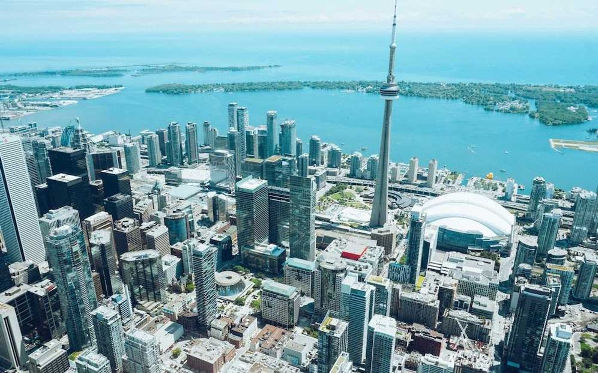
Now, let's talk about the national data. The CBC calculated the land surface temperature of 17 metropolitan areas from satellite imagery. The analysis of this imagery revealed the hottest land surface temperatures in the country, and experts confirmed to the CBC that land surface temperature does in fact correlate with air temperature.
"When we averaged the median income in each of the 10 groups, a trend emerged: the higher the residents' income, the cooler their neighbourhood, especially in metropolitan areas with 300,000 or more residents," the analysis reads. "We found something else, too: the more immigrants, the hotter the area. Again, this is mostly true for the biggest cities, where many newcomers live."
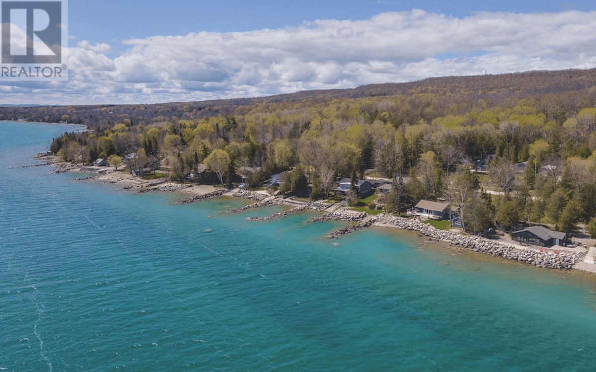
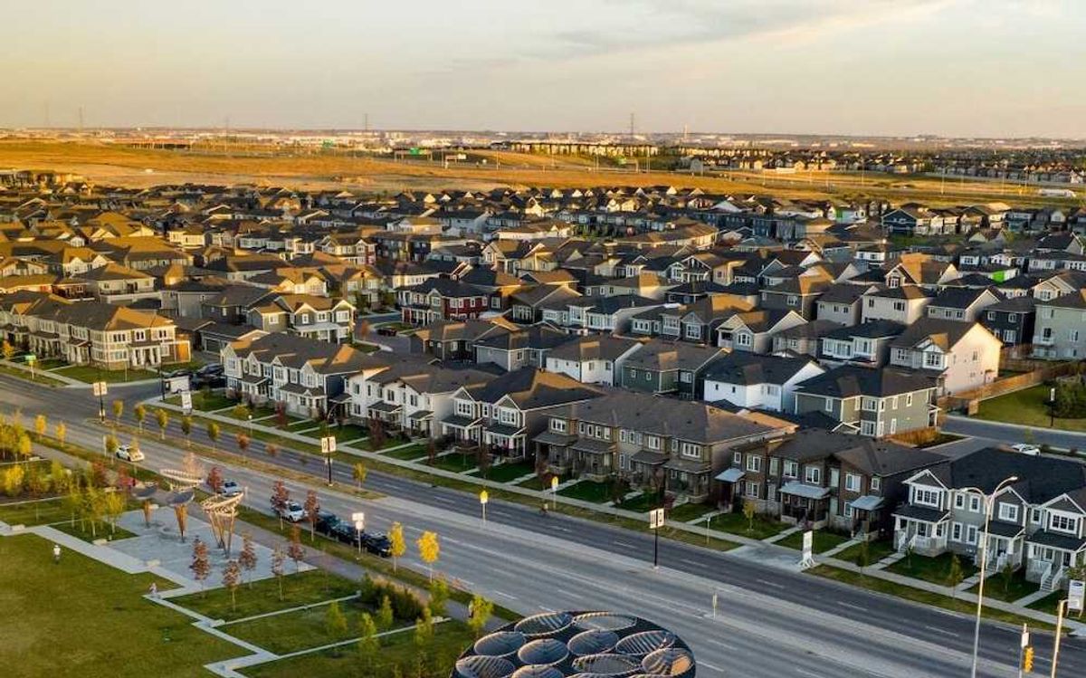
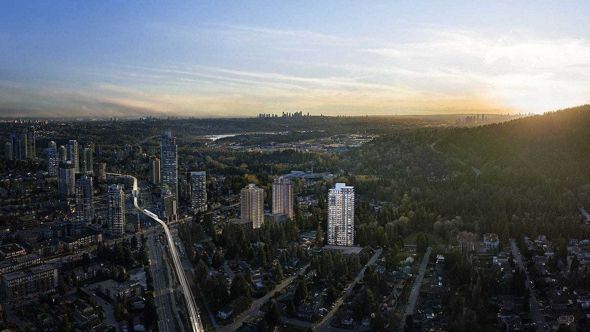
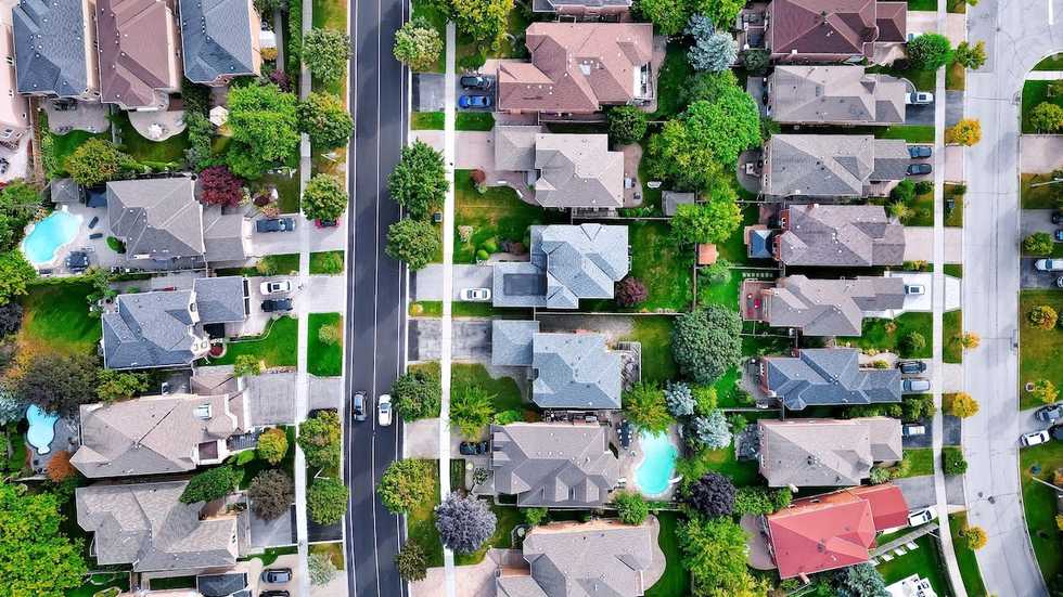
This means that marginalized communities are more likely to be devastated by heat waves. On the whole, lower-income communities are denser than their higher-income counterparts, with less green spaces. These factors contribute to conditions of extreme heat.
"We often say maps of trees are maps of race and wealth," Carly Ziter, an associate professor of biology at Concordia University in Montreal told the CBC. "This is evidence that there is injustice in who will be more vulnerable to climate change. Some people are fortunate to live in cooler parts of the cities that will be able to mitigate these heat waves in the future. And others aren't."
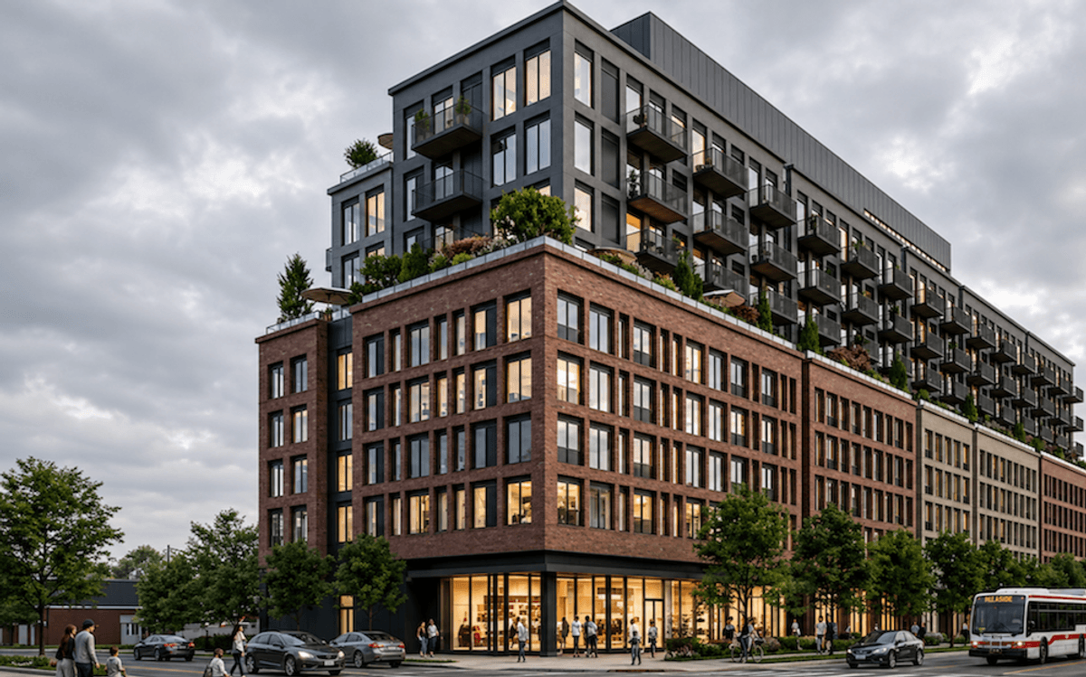
Pascale Marchand is a Hamilton Ward 4 City Council candidate. When she hears the words "heat islands," she immediately thinks of Hamilton's Kenilworth Avenue North.
Although Ward 4 is bordered on the south by the Niagara Escarpment and includes Kenilworth Avenue South -- which is lush with lots of greenery -- Kenilworth Avenue North is a different story completely.
"When you walk north of Kenilworth, the sidewalks are pretty wide but there are no trees. There are electrical poles on both sides of the streets. There's a four lane street. To the north is one of the largest industrial parks in the city where we have all of our steel mills," Marchand tells STOREYS. "It's just a concrete desert."
And when you enter a Kenilworth Avenue North postal code into the online tool, it shows that the area is hotter than 72% of neighbourhoods in the city, with less vegetation by 51% and a lower median income by 77%. The area is also home to a 25% immigrant population, which is more than in 56% of the metropolitan area.
"The CBC tool really shows the environmental discrimination that happens based on your socioeconomic status," says Marchand. "Those to the north, they do have a low socioeconomic status in general. That means there's a lot less political will to work on those neighbourhoods to try and beautify them and improve the aesthetic of the neighbourhood. Because there are options -- you can plant trees, you can have bioswales -- they're just not being applied."
The analysis also states that planting more trees is probably the most straight-forward way to increase sun cover and mitigate at least some of the heat.
"It's an interdisciplinary approach," says Marchand. "By improving things like the tree canopy, you're combining the natural, the social, the economic together into one."
But it's not so simple.
These heat islands tend to be dense, so first off, there's the issue of where to plant trees. And even if space does permit, it could lead to something called "green gentrification." You plant more trees, the area becomes a little bit nicer, it attracts higher-income individuals, and then the area becomes gentrified, pushing low-income earners out.
A more comprehensive solution is better infrastructure. For instance, if there are social housing programs in place in these neighbourhoods, low-income earners wouldn't be pushed out.
In Hamilton's case, the city will see a new LRT in the coming years, which could help bring more inclusive infrastructure to the city.
"There's a big push to ensure that that [transport] corridor has inclusionary zoning, to ensure that there is a certain percentage of housing stock that is made specifically for people of lower socioeconomic status," says Marchand. "Inclusionary zoning is very important to ensure that the people who are from the city can continue to live in the city and that they don't get pushed out. Inclusionary zoning has been shown to be very useful in areas like San Diego, San Francisco, and Washington, DC."
With global warming worsening by the minute, infrastructural improvements couldn't come soon enough in Canadian cities. Moreover, if this issue goes unaddressed, it will have dire ramifications on all neighbourhoods, not just the low-income ones. Heatwaves can lead to water shortages, dehydrate greenery, and increase energy costs and air pollution.
It's clear that there is a lot of harm in letting these heat islands be the status quo. Last summer, a heat wave in British Columbia resulted in over 600 deaths. As for where the bulk of these people were living: low-income neighbourhoods.
"The environmental discrimination that happens in areas of lower socioeconomic status is real," says Marchand. "We need less concrete, more greenery, and it needs to be taken into consideration with different levels of government."