After more than three years and multiple rounds of public engagement, the City of Vancouver has finalized its new Rupert and Renfrew Station Area Plan, which is now set to be presented to Council for consideration next week.
The new area plan covers the area surrounding the Millennium Line SkyTrain's Rupert Station and Renfrew Station that's roughly bounded by Parker Street on the north, Boundary Road on the east, E 27th Avenue on the south, and Kamloops Street on the west.
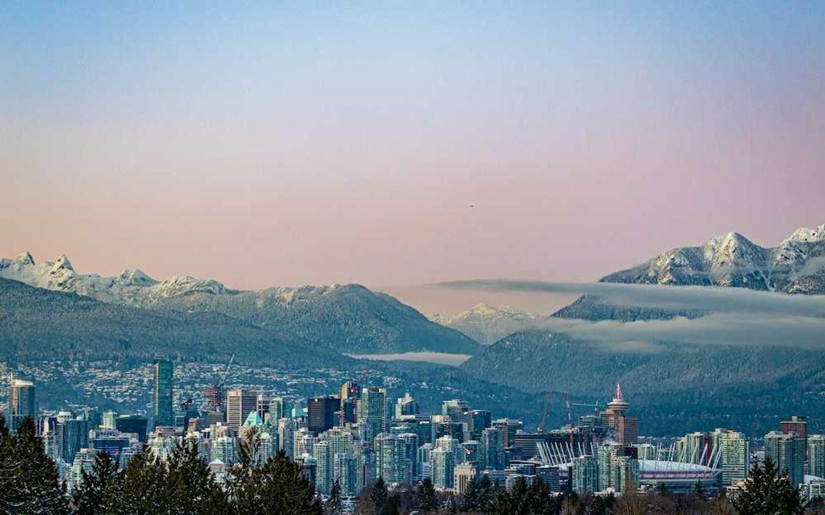
Altogether, the Rupert and Renfrew Station Area spans approximately 1,631 acres (660 hectares) that was historically a hub for fishing, harvesting, and hunting, in large part due to Still Creek, which flows roughly parallel to the SkyTrain guideways.
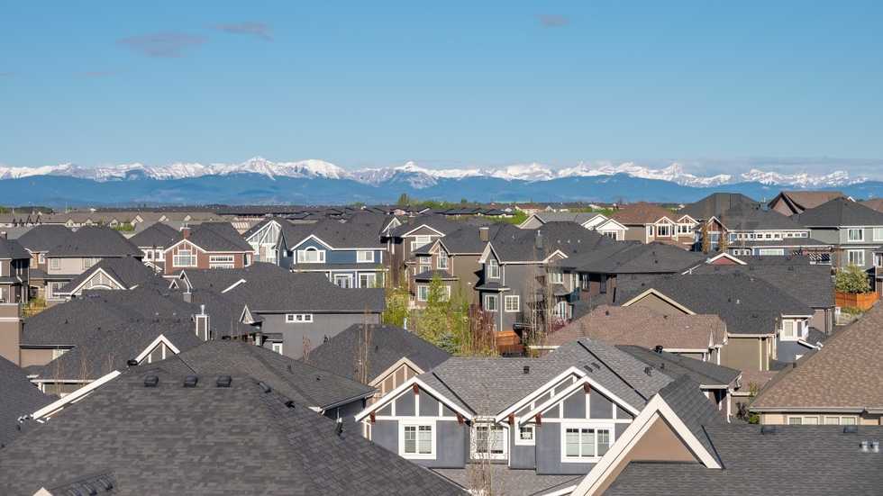
"On both sides of the creek, regionally significant employment lands and large format retailers are located, while further to the north and south is a sizable area largely comprised (80%) of low-density housing," said City staff in a report set to be received by Council next week. "The area also has a rich social history shaped by local engagement and advocacy. These efforts have led to the establishment of health services, social facilities and community-based arts initiatives. Of the approximately 31,000 people living in the study area, more than 70% identify as members of a visible minority (2021 Census). This proportion is significantly higher than the City average of approximately 55%."
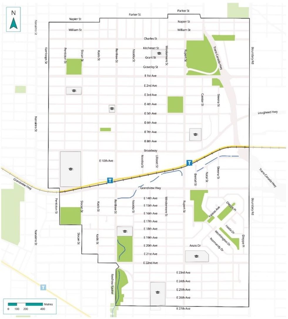 The Rupert and Renfrew Station Area Plan boundaries. / CIty of Vancouver
The planning process for the area was initiated in November 2021, with the core objectives of providing more affordable housing opportunities near transit, strengthening the local economy by protecting and intensifying employment lands, advancing climate action through complete neighbourhoods, advancing reconciliation through the enhanced rezoning process for 3200 E Broadway, and enhancing Still Creek to restore ecosystems and manage flood risk.
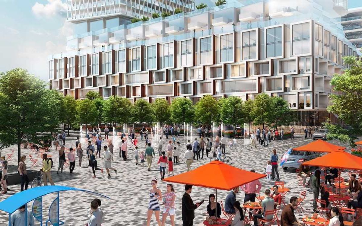
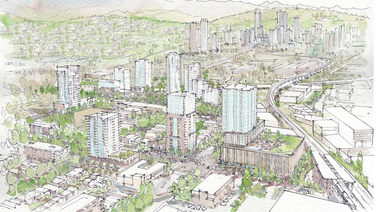
The City says that the new plan could enable an increase of 18,700 new residents, 10,100 new homes, and 8,300 new jobs in the area over the next 25 years.
"Anchored around salmon-rich Still Creek, the Rupert and Renfrew Plan area provides an abundant choice of housing to a culturally and economically diverse population," reads the plan's vision statement. "Its thriving Employment Lands, rich array of public spaces, gathering places, amenities, local festivals, shops, and services makes it a desirable place to live, work and visit. It is a community of residents and workers – a place of neighbours and friends."
The Rupert and Renfrew Station Area Plan: Land Uses
The report notes that the proposed allowable heights and densities go "beyond what was envisioned in the Vancouver Plan" for three main reasons. The first is to support drainage and groundwater flows to Still Creek. As such, the plan includes regulations that limit underground parking. The second is to enable growth in the Still Creek floodplain. As such, ground floor uses and building sizes will be limited on certain parcels. The third is to address increases in construction costs and limited land lift relative to other parts of Vancouver. As such, the plan allows additional height and density to facilitate the delivery of below-market rental housing and childcare.
The most height and highest densities will be centered around Rupert Station and Renfrew Station, naturally, with heights between 29 and 45 storeys — more than double the minimum legislated by the Province's transit-oriented areas legislation (Bill 47). Some parcels are designated for mixed-use residential, while others are designated for pure residential. One tier out, heights between 22 and 40 storeys will be allowed, such as on the north side of E Broadway. Heights between 22 and 26 storeys will be allowed just outside of that. The report to Council notes that highest densities will be available to projects that provide below-market rental or childcare, with lower densities allowed for market rental, strata, and hotel projects.
Outside of these rapid transit areas will be villages where low-rise residential up to six storeys will be allowed. "Village areas prioritize missing middle housing options, ranging from six storeys to multiplexes; provide opportunities for below-market rental; and deliver new shops, hotels and services in 4-6 storey buildings on commercial high streets," said City staff in the report.
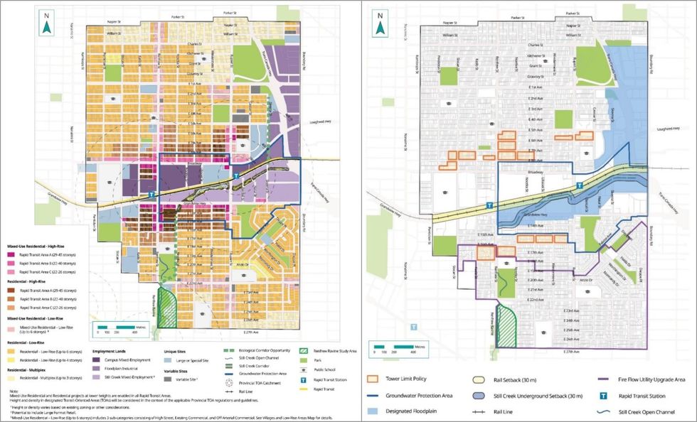 The land use plan, heights, densities (left) and limitations (right) for the Rupert and Renfrew Station Area Plan. / City of Vancouver
The new Rupert and Renfrew Station Area Plan also introduces three designations for employment lands. "Campus Mixed-Employment" will be high-density office, laboratories, hotels, and institutional uses up to 30 storeys concentrated near the SkyTrain stations, "Floodplain Industrial" will consist of distribution, storage, and repair uses, while "Still Creek Mixed-Employment" will support big-box stores and creative economy businesses, such as film studios, up to 12 storeys. Residential uses will not be allowed in these areas, with the exception being the aforementioned 10-acre 3200 E Broadway project being developed by the xʷməθkʷəy̓əm (Musqueam), Sḵwx̱wú7mesh (Squamish), səlilwətaɬ (Tsleil‑Waututh) Nations and Aquilini Development.
Although it is not discussed in the report to Council, the new plan also includes tower limits similar to those in the Broadway Plan. "To transition the Rapid Transit Areas from the highest intensity land use areas to the 6-storey areas, some blocks in Rapid Transit Area B and C sub-areas will have limits on the number of towers per block or block face," the draft plan notes. These tower limits will apply to developments proposing heights and densities beyond the Bill 47 allowances.
The plan also designates 15 properties as large or unique sites: 2800 East 1st Avenue; 1890 Skeena Street; 2730 Cooperative Way; 3075 Slocan Street; 2610 South Grandview Highway; 2750 East 18th Avenue; 3575 Kaslo Street; 3200 East Broadway (inclusive of 3270 East Broadway and 2625 Rupert Street); 2131 Renfrew Street, 2875 East 6th Avenue, and 2838 East 7th Avenue; 2934 East 22nd Avenue and 3824- 3854 Boyd Diversion; 3645 Charles Street; 2700 East Broadway; 2433 East 10th Avenue; 3496 Mons Drive; and 3500 Penticton Street. These sites will have site-specific and/or additional policies "identifying priority public benefits and amenities that the City would seek to create or expand through redevelopment, such as affordable housing, childcare, community serving spaces or ecological assets."
The Rupert and Renfrew Station Area Plan: Implementation
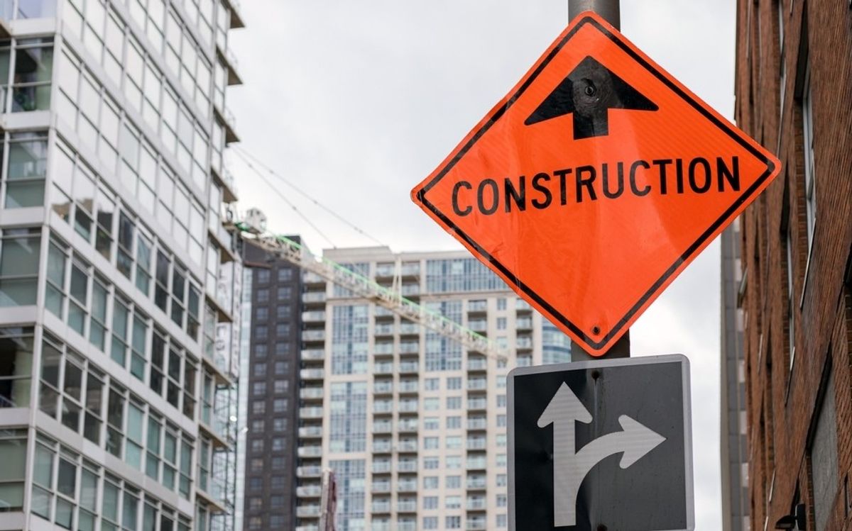
The report to Council notes that land use changes will be implemented through private rezonings, but also City-initiated rezonings — i.e. "prezoning" — like what the City has done in other areas of Vancouver, in order speed up the approvals process.
"To support plan implementation, staff will bring forward a separate report later this year seeking Council support for city-initiated rezoning in identified villages and low-rise areas – where infrastructure is in place to support potential redevelopment," said City staff, adding that the report will also include a series of amendments to the Zoning and Development By-law that would allow below-market rental housing in C-2 zones, among other things.
For existing renters in the area, the plan also includes tenant relocation and protection policies that go beyond the City-wide policy.
Similar to the Granville Street Plan that was approved in early-June, the City has simultaneously developed a set of design and development guidelines for the Rupert and Renfrew Station Area Plan, which is set to be approved concurrently.
Additionally, City staff has recommended that the City amend its community amenity contributions (CAC) policy to include the Rupert and Renfrew Station Area as a separate CAC application area.
"The policy would be amended to set target CAC rates for strata buildings in the area as well as exempting market rental, including market rental with childcare and market rental with 20% of floor area as below-market rental, from CACs," said City staff. "Staff are working on updating all development contribution tools, with the new financing growth framework intended to be brought to Council for approval in Q2 2026. It’s anticipated that CAC Targets may be replaced by other tools, such as Amenity Cost Contributions, with a goal of aligning waivers across tools. As a result, the CAC Policy changes in this report will be revisited in 2026 as part of the city-wide financing growth update."
Furthermore, City staff have also recommended a series of amendments to several other policies in order to better implement the Rupert and Renfrew Station Area Plan, and have also recommended a few outdated plans and policies pertaining to the area be repealed.
"The Plan contemplates a wide-ranging list of capital projects/programs to renew and expand infrastructure and amenities to serve a growing population and employment base," the staff report concludes. "Capital and in-kind investment priorities have been identified for the next 10-year period and are estimated to cost ~$1.2 billion (in 2024 dollars). [...] The market's shift to rental housing, combined with rising construction costs in the residential sector, will result in proportionately less development contributions towards infrastructure and amenities. Capital projects in the Rupert and Renfrew Area will be integrated into the City’s capital planning and budgeting processes for prioritization and any funding gap will need to be addressed through trade-offs on a city-wide basis."