Earlier this month, Surrey City Council approved the Imagine Scott Road Visioning Study, a land use plan to guide the future of the Scott Road - 72 Avenue corridor that spans approximately 2,085 acres near the northwestern boundary of Surrey.
The corridor is bound by the City of Delta on the west, 102A Avenue on the north, 135 Street on the east, and 68 Avenue on the south, and is home to an estimated population of 41,120, according to the City.
Additionally, the City estimates that 64% of the corridor's residents are of South Asian descent — compared to 33% city-wide — and skews younger than the Surrey average — 56% under the age of 40, compared to 52% city-wide.
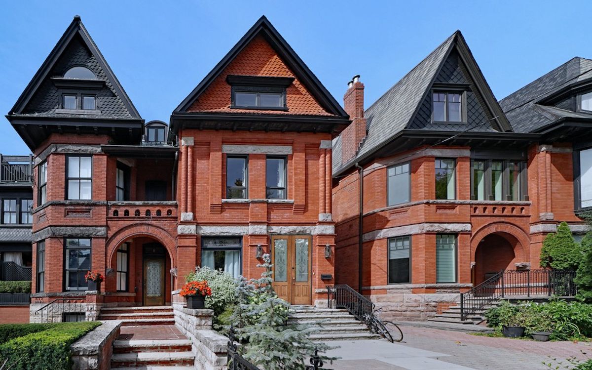
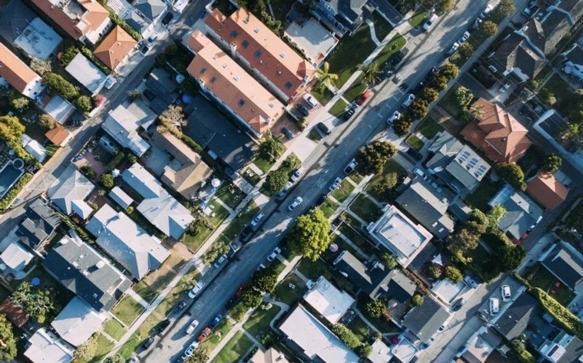
From a housing perspective, the corridor also has a higher proportion of renters — 41%, compared to the city-wide average of 29%. Most of the existing housing stock is single-family homes and secondary suites, with 43% of households consisting of four or more people, which is, again, higher than the city-wide average.
In terms of commercial development, the corridor is currently home to just over 4,500 jobs, most of which are on industrial-based employment lands. Much of the offices and retail space is car-oriented.
Imagine Scott Road
The planning process for the Scott Road - 72 Avenue corridor began in Spring 2022, with the goal of supporting the anticipated R6 Scott Road RapidBus line that was being planned by TransLink and began service at the beginning of this year.
"The planning process included a series of background studies, such as demographic research, and environmental and market studies, as well as a community and stakeholder engagement," the City says. "Feedback received from the engagement campaign and the findings from the background studies supported the development of the Imagine Scott Road vision, as well as its supporting themes, actions and principles. These components form the planning framework intended to guide future secondary planning processes along the Corridor."
From a policy framework perspective, the Imagine Scott Road Visioning Study falls between the City of Surrey's Official Community Plan (OCP) and the City's secondary plans — it is governed by the former and will guide the latter.
Imagine Scott Road identifies three areas within the corridor that become the subject of future secondary plans: the Townline area that makes up a chunk of the northern end of the corridor, the Kennedy area in the middle, and the Strawberry Hill area at the southern end.
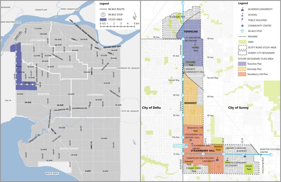 The Scott Road - 72 Avenue corridor (left) and its three secondary plan areas (right).(City of Surrey)
The Vision
The City of Surrey has outlined a clear vision statement for the future of the Scott Road - 72 Avenue corridor and how it hopes the corridor is described in the future:
"Scott Road is a diverse, well connected, and vibrant corridor serviced by reliable public transit. Surrounding neighbourhoods provide a range of housing options, a network of natural spaces, and high-quality public places. The area is celebrated for its cultural diversity, vibrant shops and restaurants, employment opportunities, and walkability."
According to the City's projections, the corridor has the potential to accommodate an additional 60,000 to 140,000 new residents through the addition of between 20,000 and 40,000 new homes.
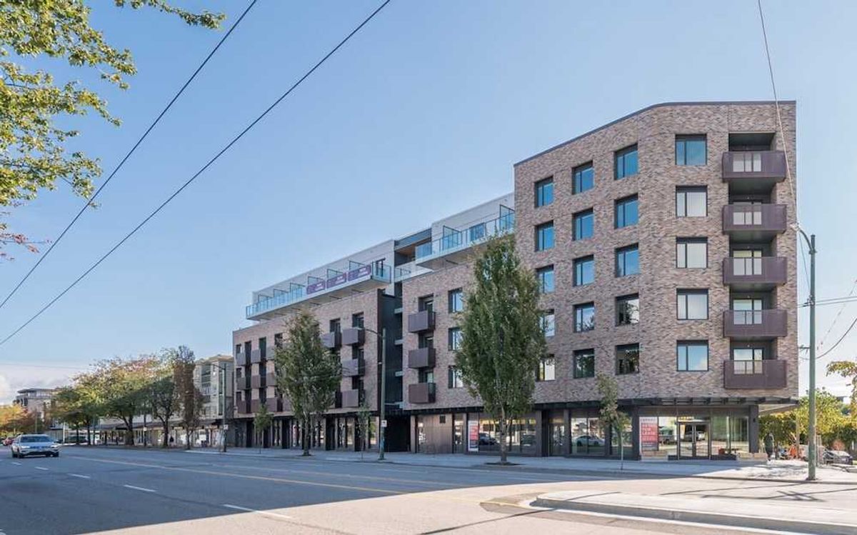
"This can be achieved predominately [sic] through increasing the availability and proportional housing mix of multi-family apartment-style units," the City says. "Growth within this context would take many decades to occur and remains somewhat speculative in nature."
In terms of employment, the City estimates that there is the potential to increase the amount of commercial floor area in the corridor by between three and seven times as much as what currently exists, which can accommodate between 10,000 and 20,000 new jobs.
"Employment forecasting assumes the protection and intensification of existing industrial/mixed employment land supply, as well as the increase in mixed-use development," the City says.
Much of the land use plan will follow the designations outlined under the OCP and detailed further in the three future secondary plans, although potential locations for new parks have already been identified.
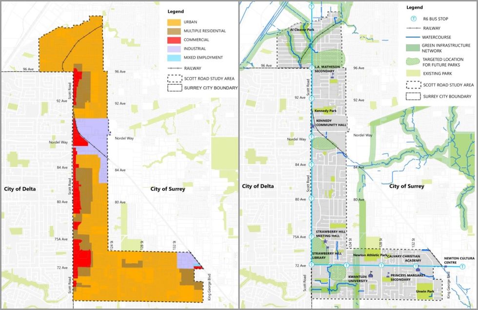 Land use designations under the OCP (left) and proposed locations for future parks (right).(City of Surrey)
Next Steps
The Imagine Scott Road Visioning Study was endorsed by Council on July 8 and staff will now work towards bringing proposed zoning bylaw amendments forward for a future public hearing, after which Council can initiate work on the three neighbourhood plans.
For developers, the City has also outlined a series of policies regarding rezoning applications during this interim period.
Rezoning applications that are aligned with the OCP can proceed as usual towards final adoption. For rezoning applications pertaining to sites within the three neighbourhoods of the corridor, amendments to the OCP will only be considered at the discretion of the General Manager of Planning and Development and will be based on merit and community amenity contributions (CACs) provided.
After work on the three secondary plans has been initiated, rezoning applications seeking OCP amendments will no longer be considered.
Regarding CACs, much of the City's existing CAC policies will be applicable in the Scott Road - 72 Avenue corridor, although portions of the existing policy will be revised.
"Area specific secondary plan CACs will be established and applicable through future secondary planning processes along the Corridor to reflect the specific amenity requirements and unique market conditions of the community," the City says, adding that it may also introduce a new Tier 2 CAC "community area" rate specific to the corridor.
In a press release on July 17, Mayor Brenda Locke said she was proud of the work that has been done and voiced excitement for the future of the Scott Road - 72 Avenue corridor.
"With the introduction of RapidBus along this route, a framework was needed to guide longer-term land use planning along the transit corridor, which is one of the busiest in the region," she said. "This plan will not only improve the daily lives of our residents and commuters, but also pave the way for the creation of new homes and vibrant neighborhoods, meeting the growing demands of our rapidly expanding city."